File:Oldham town centre, aerial view from north.JPG
⧼vector-jumptonavigation⧽
⧼vector-jumptosearch⧽


Size of this preview: 1,280 × 777 pixels. Other resolutions: 320 × 194 pixels | 640 × 388 pixels | 800 × 486 pixels | 1,024 × 622 pixels | 2,560 × 1,554 pixels | 3,504 × 2,127 pixels.
Original file (3,504 × 2,127 pixels, file size: 1.61 MB, MIME type: image/jpeg)
| This is a file from the Wikimedia Commons. The description on its description page there is shown below.
|
Summary
| Description |
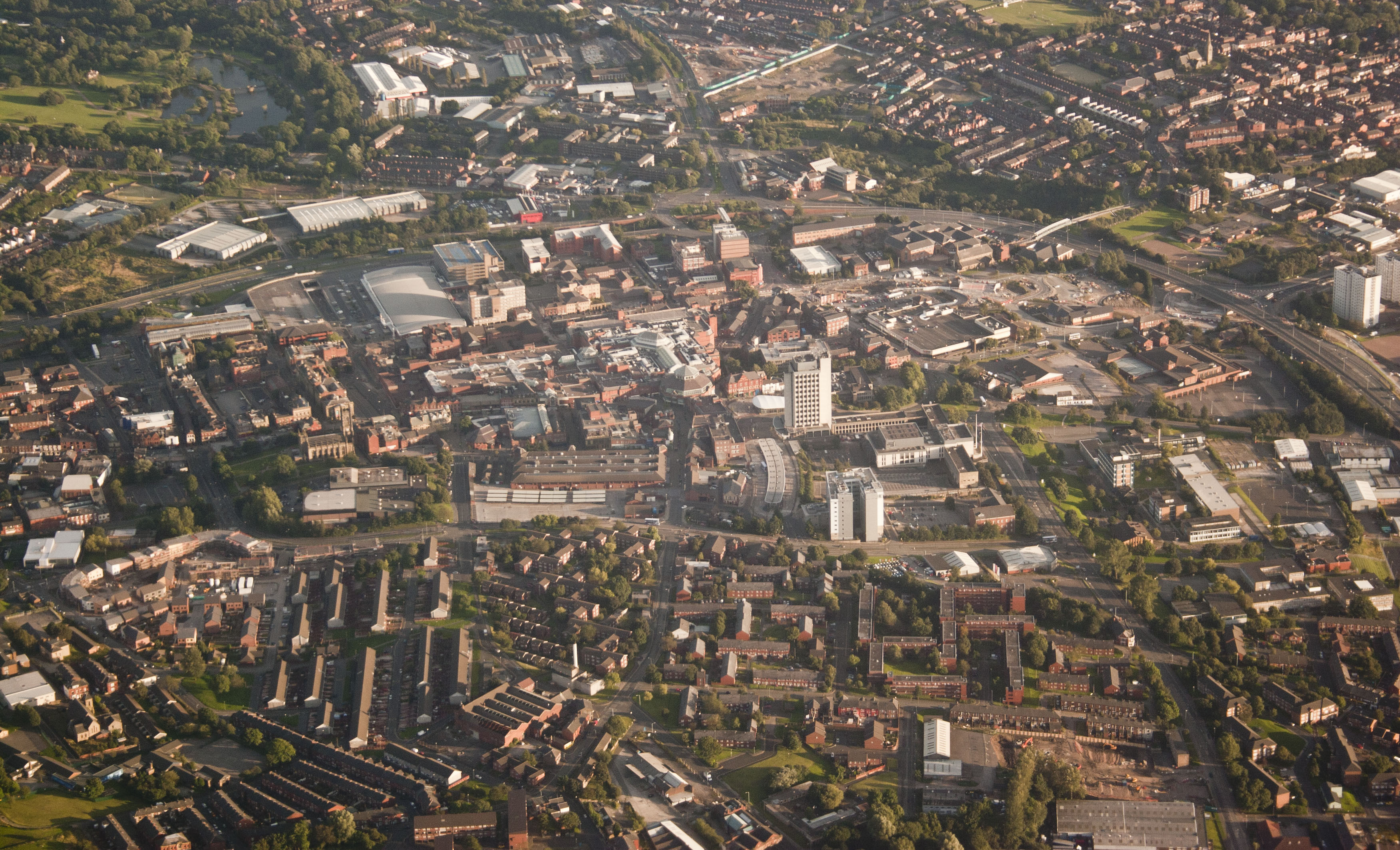
English: Oldham town centre, viewed from the north, from a passenger aircraft en route to Manchester Airport |
| Date | |
| Source | Own work |
| Author | Parrot of Doom |
| Other versions |
| Camera location | | View this and other nearby images on: OpenStreetMap |
|---|
Licensing
I, the copyright holder of this work, hereby publish it under the following licenses:
This file is licensed under the Creative Commons Attribution-Share Alike 3.0 Unported license.
- You are free:
- to share – to copy, distribute and transmit the work
- to remix – to adapt the work
- Under the following conditions:
- attribution – You must give appropriate credit, provide a link to the license, and indicate if changes were made. You may do so in any reasonable manner, but not in any way that suggests the licensor endorses you or your use.
- share alike – If you remix, transform, or build upon the material, you must distribute your contributions under the same or compatible license as the original.

|
Permission is granted to copy, distribute and/or modify this document under the terms of the GNU Free Documentation License, Version 1.2 or any later version published by the Free Software Foundation; with no Invariant Sections, no Front-Cover Texts, and no Back-Cover Texts. A copy of the license is included in the section entitled GNU Free Documentation License. |
You may select the license of your choice.

|
This image has been assessed under the valued image criteria and is considered the most valued image on Commons within the scope: Oldham town centre, aerial view from north. You can see its nomination here. |
File history
Click on a date/time to view the file as it appeared at that time.
| Date/Time | Thumbnail | Dimensions | User | Comment | |
|---|---|---|---|---|---|
| current | 17:46, 12 August 2012 | | 3,504 × 2,127 (1.61 MB) | wikimediacommons>Parrot of Doom | {{Information |Description ={{en|1=Oldham town centre, viewed from the north, from a passenger aircraft en route to Manchester Airport}} |Source ={{own}} |Author =Parrot of Doom |Date =2012-08-09 |Pe... |
File usage
The following page uses this file: